Other Historic Maps
Maps and Trails
Other Historic Maps
BELOW: Old Field Names map BELOW: 1599 Map showing Swanbourne and Mursley.
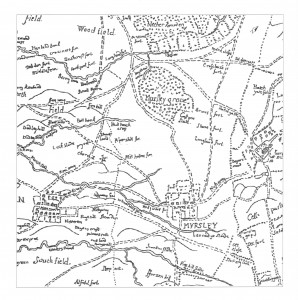
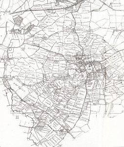
Swanbourne-Mursley Fortescue 1599 map
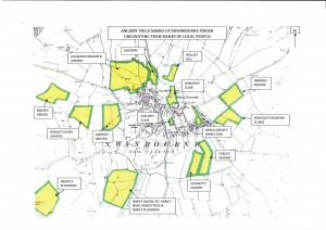
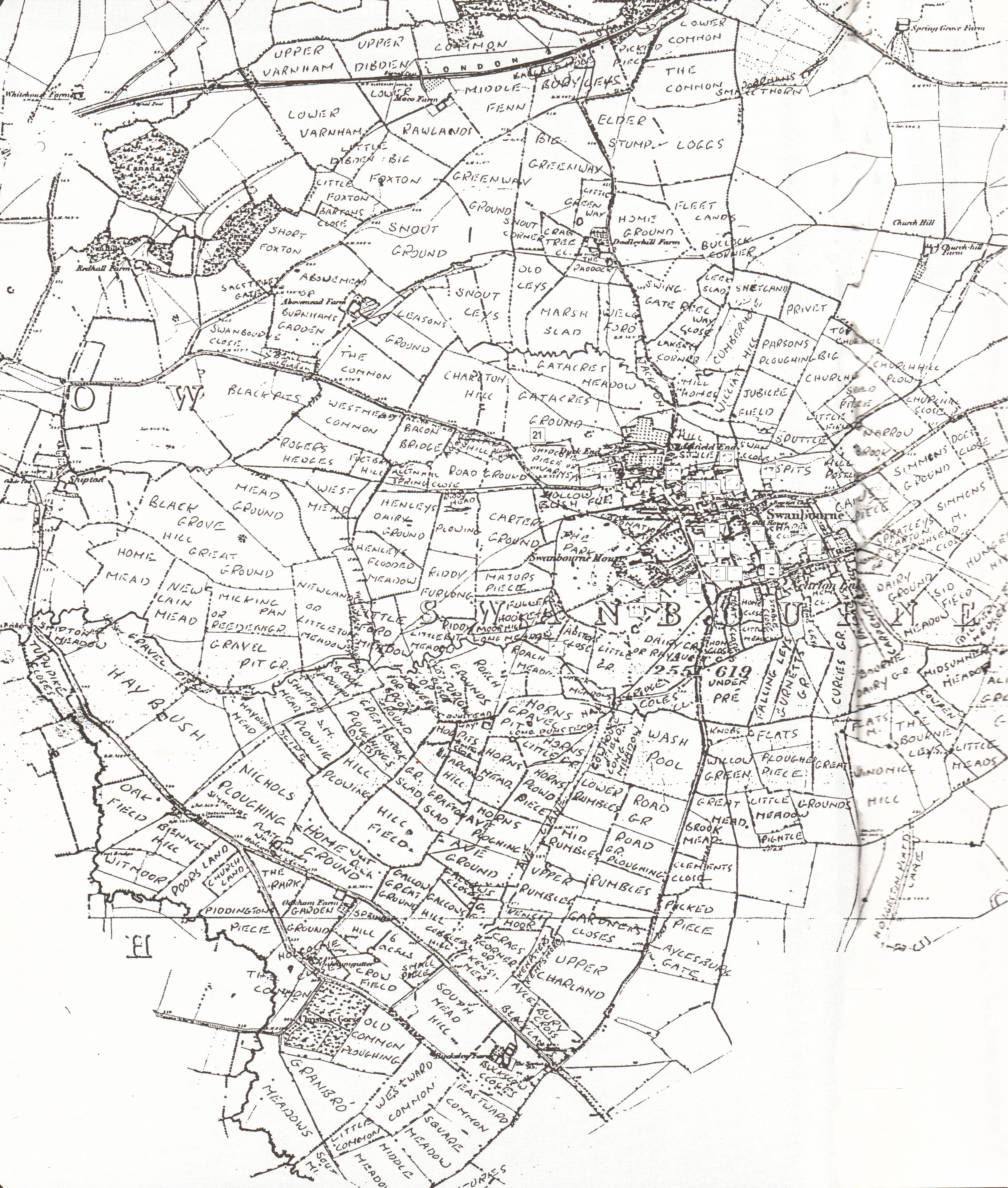
Ancient field names map
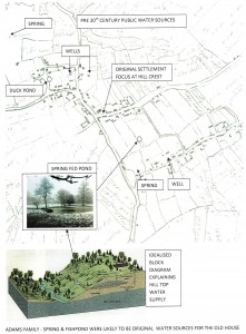
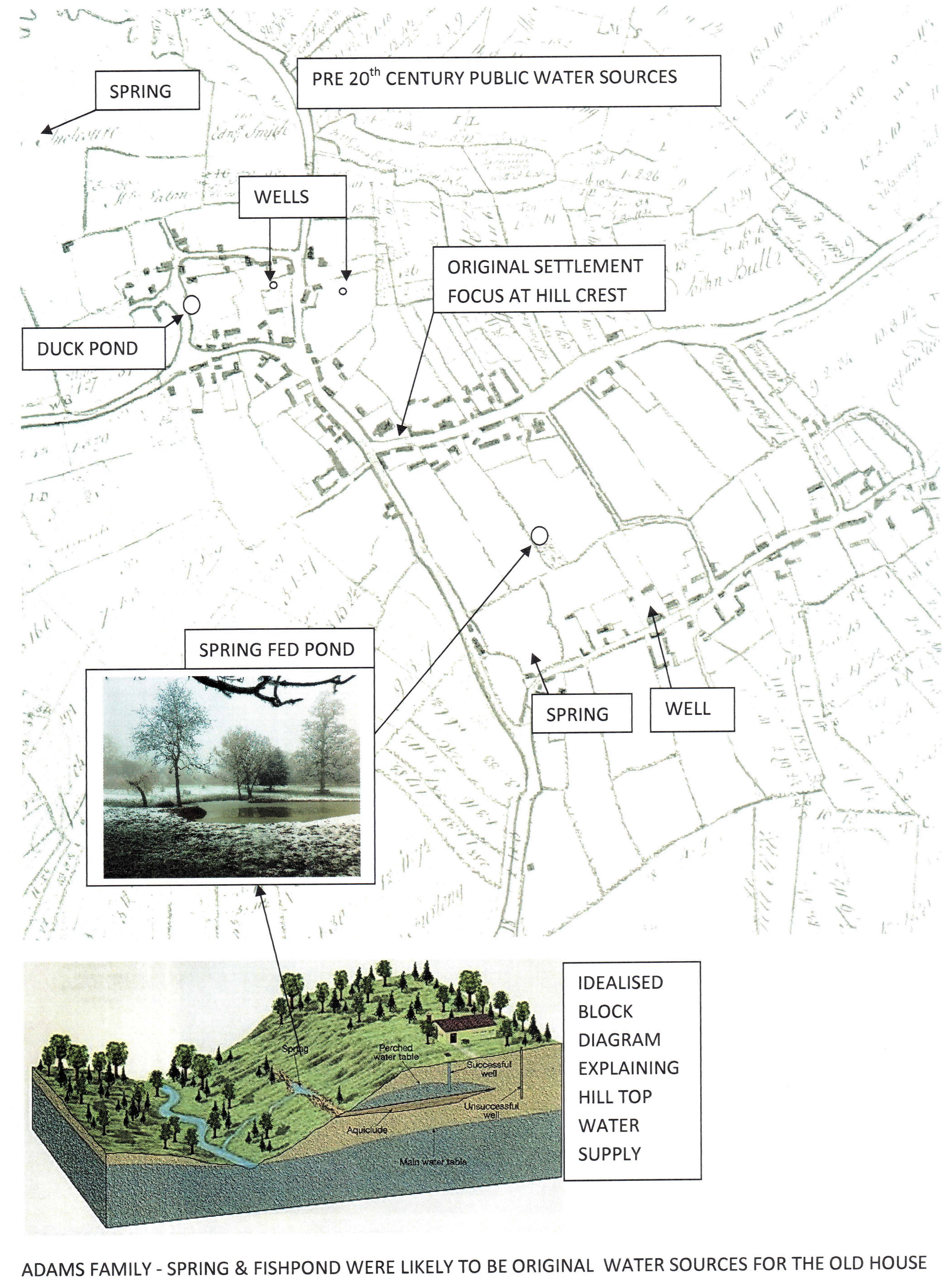
Spring line Map
Swanbourne parish field names (Ken Reading)
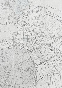
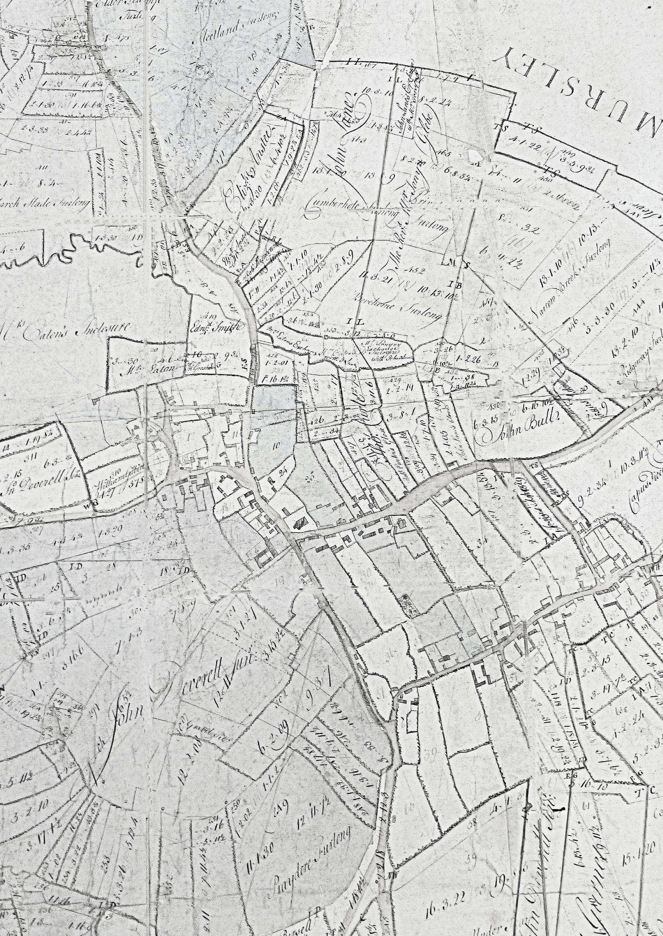
1762 Pre-Enclosure Map
Click on maps to enlarge.
CLICK HERE to return to Maps and
Trails Category
This post has 3 Simple Fields-fields attached.
Show fields.
Fieldgroup Post Options
- Field Featured Slider, type checkbox, slug post_featured_slider
Use simple_fields_value('post_featured_slider').
- Field Message Board, type checkbox, slug post_message_board
Use simple_fields_value('post_message_board').
- Field Featured Boxes, type checkbox, slug post_featured_boxes
Use simple_fields_value('post_featured_boxes').
- Get all fields at once: use
simple_fields_value('post_featured_slider,post_message_board,post_featured_boxes').